Battlemesh logo
  • Comments
  • Edit
  • Menu
    • Navigation
    • RecentChanges
    • FindPage
    • Local Site Map
    • Help
    • HelpContents
    • HelpOnMoinWikiSyntax
    • Display
    • Attachments
    • Info
    • Raw Text
    • Print View
    • Edit
    • Load
    • Save
    • Edit SideBar
  • Login

Navigation

  • RecentChanges
  • FindPage
  • PastEvents
  • ContactUs
  • HelpContents
Revision 16 as of 2010-06-05 18:26:07
  • Map

Map

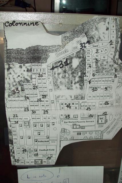
This page is dedicated to the site map of the camping for the WBMv3

Contents

  1. Map
    1. Map
    2. JPG
    3. GPX data
    4. PowerPlug on-site

Map

  • OSMap.

  • gmaps aerial view

  • http://maps.google.it/maps/ms?hl=it&gl=it&ptab=2&ie=UTF8&oe=UTF8&msa=0&msid=102163358171818030455.0004813a6dad2d93243fc&t=h&z=17

  • http://www.gpsvisualizer.com/display/data/1268036431-07653-78.29.250.237.html

attachment:powermap.jpg

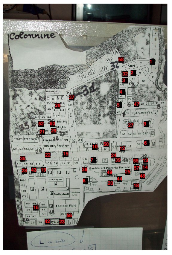
  • Hand Made Topological Map (in red the last IP digit of the deployed nodes over the camp)

attachment:powermap2.jpg

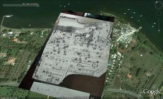
attachment:poweroverlay.jpg

FREE PLUGS ("-" means free but not working)

col. n.

free plugs

1

1, 3

2

2

3

NOT EXISTS

4

3

5

1 (dirty)

6

-2

7

1,2

8

NO FREE PLUGS

9

1

10

3,-5,-6

11

1,2

12

-1

13

1,3

14

-2

15

4

16

2,3

17

2,-3

18

1,2,-3

19

1,2,-3

20

NOT EXISTS

21

1,2,3

22

1,2,3

23

2,3

24

1,2,3

25

1,2,3

26

5,6,7

27

1,3

28

1,2,3

29

UPPER PLUGS FULL, 5, -6

30

1,2

31 (32 on the map)

NO FREE PLUGS

32 (31 on the map)

2

33

-1,-2

JPG

attachment:A_SIGN.jpg attachment:B_SIGN.jpg attachment:C_SIGN.jpg attachment:E_SIGN.jpg

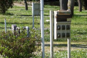
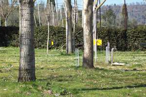
attachment:samplepowercolumn.jpg attachment:treesandplugsites.jpg

GPX data

  • GPS data matched with the map in the picture: PowerPlugs.gpx

  • Original GPS data: Trk_10-03-07_13-13-17.xml

PowerPlug on-site

attachment:blueplug.jpg Camping (blue) plug 3 pin 220V

  • MoinMoin Powered
  • Python Powered
  • GPL licensed
  • Valid HTML 4.01